the feed

Salt River Fishing Report - June 26, 2023
Fishing report for the lower salt river on June 26 2023
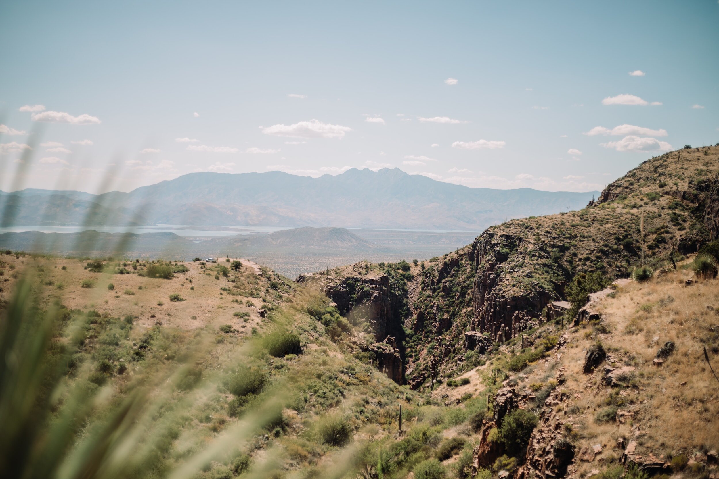
Salt River, Mesa, AZ - Blue Point recreation area, June 26, 2023
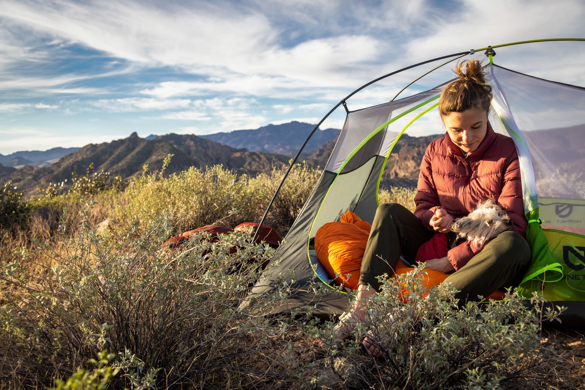
Pretty solid day for trout fishing just upstream of the bridge. We arrived at 6 AM and had a fish on the line on my first cast. We fished until about 10 AM and caught seven fish between the two of us. I mainly stayed near the overhead line And floated the current downstream. I was using various types of power bait dough on a sliding sinker rig with a barbless treble hook. I caught six out of the seven of those fish. The trout ranged in size from 8 to 14 inches. All of them were beautiful rainbows most likely all stocked My friend tried multiple different rigs, mostly using a drop shot variation, but didn’t have as much luck. We believe his weight was too heavy and he kept getting gnarled up in the grass beds.
As expected around nine 9:30 AM the float traffic started to pick up and the fish started to slow down. We did mess around with my fly rod but didn’t see any action on it. We couldn’t do much casting because of how much the float traffic was flowing.
Water temp: 56 | Air temp: 89-95

The Gear I used:
- Rod: Okuma Celilo Graphite Lightweight Ultra Light Freshwater Rods, CE-S-662ULb (link)
- Reel: Okuma C-30-CL Ceymar Spinning Reel (link)
- Line: SpiderWire Stealth Braid Fishing Line Hi-Viz 20lb (link) | Seaguar Tatsu 6lb leader (link) | Barrel Swivel size 12 (link) | Treble Hooks Size 10 (link)
- Bait: Berkley Powerbait - Corn (link) | Berkley Powerbait - Garlic (link)
- Clothing: Free Fly Men's Bamboo Lightweight Hoodie (link) | Free Fly Men's Breeze Pant (link) | Chaco Mens Z/1 Classic (link)
- Other Gear: KastKing BlowBak Tactical Fishing Sling Tackle Storage Bag (link) |

About the Salt River
Nestled amidst breathtaking landscapes, the Salt River offers an abundance of trout and an opportunity to hone your angling skills. In this article, we'll delve into the ins and outs of Salt River trout fishing, covering the best locations, essential techniques, and valuable tips to help you reel in the big ones.
- Exploring the Salt River:
The Salt River, known for its stunning beauty and crystal-clear waters, is a haven for trout. It meanders through serene valleys, gorges, and canyons, creating an idyllic backdrop for fishing enthusiasts. From the upper reaches to the lower stretches, the river presents various fishing opportunities, making it an appealing destination for anglers of all skill levels. - Prime Fishing Spots:
While the Salt River offers abundant fishing spots, a few locations stand out for their trout population and angler-friendly conditions. Cast your line at the scenic Sycamore Creek or try your luck at the Lower Salt River, known for its trophy-sized rainbow trout. Other promising areas include the Salt River Canyon, where you can enjoy fishing while surrounded by stunning canyon walls. - Techniques for Success:
Successful trout fishing in the Salt River demands a combination of skill and strategy. Consider using lightweight fishing gear, such as a 4-6 weight rod, to maintain finesse and precision. Match your flies to the prevalent insect hatches, as trout in this river are known for their selective feeding habits. Popular fly patterns include Adams, Elk Hair Caddis, and Blue-Winged Olives. Remember to perfect your presentation and drift techniques to entice these wily fish. - Valuable Tips for Anglers:
a. Time your fishing trips: Early mornings and late evenings often yield the best results as trout are more active during these periods.
b. Practice catch and release: Help preserve the trout population by practicing responsible fishing. Return your catch to the river, ensuring its continued growth and sustainability.
c. Pack essential gear: Don't forget to bring waders, polarized sunglasses, sunscreen, and insect repellent to make your fishing excursion comfortable and enjoyable.
Conclusion:
For passionate anglers seeking a memorable fishing experience, the Salt River is a treasure trove of trout fishing opportunities. Its scenic beauty, coupled with an abundance of trout, makes it a must-visit destination. Armed with the right techniques and tips, you can maximize your chances of landing that prized catch. So, pack your gear, head to the Salt River, and embark on an angling adventure that will leave you with unforgettable memories. Keep checking back here for updated fishing reports around the valley.
Exploring the Five Best Hikes Near the Super Bowl in Phoenix
The Super Bowl is one of the biggest events in the world, and this year it is being held in Phoenix, Arizona. If you're a fan of outdoor adventures, then you're in luck! Phoenix is home to some of the most stunning hikes in the country. Here are the top 5 hikes near the Super Bowl in Phoenix.

Top 5 Hikes Near The Super Bowl
Camelback Mountain - Camelback Mountain is a popular hike for locals and visitors alike. The hike is strenuous, but the views from the summit are breathtaking. You can see the entire Phoenix valley from the top, making it the perfect place to enjoy a sunrise or sunset. The Echo Canyon Hike is 2.5 miles round trip and takes about 1.5 hours to complete.
Pinnacle Peak Park - Pinnacle Peak Park is a great hike for families and beginners. The hike is 1.75 miles round trip and takes about 1 hour to complete. The trail is well-marked and easy to follow, making it a safe and enjoyable experience for everyone. The views from the top are stunning, and you can see the entire valley below.
South Mountain Park - South Mountain Park is the largest city park in the country, covering over 16,000 acres. The park offers many different trails, making it a great place for all skill levels. The park has trails for hiking, biking, and horseback riding, making it a great place to spend the day.
Tom's Thumb Trail - Tom's Thumb Trail is a popular hike in the McDowell Sonoran Preserve. The hike is 3.75 miles round trip and takes about 2 hours to complete. The trail is strenuous, but the views from the top are worth it and you can see for miles in all directions, making it a great place for a sunrise or sunset hike.
Papago Park - Papago Park is a great place for a scenic hike. The park offers many different trails, making it a great place for all skill levels. The park has trails for hiking, biking, and horseback riding, making it a great place to spend the day. The park also has a beautiful lake, making it a great place to relax and enjoy a picnic.

Enjoy The Super Bowl and The Desert
In conclusion, Phoenix is home to some of the most stunning hikes in the country. Whether you're a beginner or an experienced hiker, there is a trail for everyone in Phoenix. So, if you're in town for the Super Bowl, take a break from the excitement and enjoy one of these beautiful hikes!
Add To Your Pinterest Board


5 Adventures in Phoenix during the Winter
Spending winter in Phoenix, Arizona is a great experience with its warm climate and wide range of outdoor activities to do.
Here are five amazing adventures to take in Phoenix during the winter:
Hiking - Take advantage of the moderate winter temperatures and explore some of the best trails in the area. Hike through McDowell Mountain Regional Park or along the shoreline of Tempe Town Lake for beautiful views and breathtaking nature.
Horseback Riding - Hop on horseback for an unforgettable ride across one of the nearby desert trails, with stunning views all around you. Spend an afternoon exploring South Mountain Park or embark on a sunrise ride around the Apache Trail Monument Valley.
Rock Climbing - Challenge yourself to some rock climbing at Papago Park’s Sandstone Quarry or Black Canyon National Park and feel like you’re soaring high above the valley floor!
Golfing - Get some practice in before spring golf season by hitting up one of Phoenix’s premier golf courses like Encanto 18, where you can challenge your skills and work on perfecting your game!
Off-Roading - Explore Phoenix's desert terrain on a guided ATV tour! Experience sand dunes, winding trails, and stunning red rock formations all while having a wild time!


Echo Canyon Trail on Camelback Mountain - What You Need to Know
Echo Canyon Trail on Camelback Mountain is one of the most popular hikes to do around Scottsdale and Phoenix, AZ. Here's Why!
Hike Echo Canyon Trail - Camelback Mountain
Camelback Mountain via Echo Canyon Trail is a 2.5 mile heavily trafficked out and back trail located near Scottsdale, Arizona that offers scenic views and is rated as difficult.
Getting There:
The parking lot is off Squaw Peak drive and leads to many more hiking trails in the Phoenix Mountain Preserve. The route starts on a short connector trail and then goes straight up to the summit.


The Trail:
The trail begins from the top of the parking lot, just beyond the restrooms and benches. An easy incline at first, the path passes a smaller rock formation, then approaches the base of a larger one known as the “Praying Monk”. If you look up from the Echo Canyon trail, you may see roped-up rock climbers scaling the face above you. And if you turn around and look the other way, you can see Piestewa Peak rising up behind you.
At around 0.4 miles the trail picks up with a set of wooden stairs. Soon after this, the route becomes so steep that there are metal railings anchored into the mountain to safely assist hikers in this potentially dicey situation.
At first, a metal pole will only be on your left-hand side but soon after there will be a pole in the middle and then to the right. From my experience, the pole on your left (as you are going up) is the best pole to hang onto. There are carved out foot notches in the rock that will help your feet up. The other poles will not have these little notches, so it feels a little uncertain to walk on since it’s so steep and smooth you can easily slide on it, even with good gripping shoes.
Once at the top of this steep section, you might think the tough part is over — but it’s only just begun! The trail now will require scrambling pretty much up all the way to the top. For this reason, you might want to consider bringing gloves along, although it isn’t completely necessary.
There are steep piles of bigger rocks that you will need to hike up. At times, it feels as if you’re back in that aquarium climbing up big pieces of gravel to get the relief of freedom up at the top. There is a small dip just before the one mile mark, then the trail rises steady and even steeper as it nears the summit. It’s easy to get a little off track in the last section – just keep looking for the path of least resistance.
The trail makes one final bend to the left as it leads you to the top! Take in the awesome 360-degree view of the valley, with Piestewa close by to the northwest. But make sure you pay attention to which way you came up – it’s easy to mistakenly go down the wrong trail. When you are done soaking in the views, return down the way you came up.


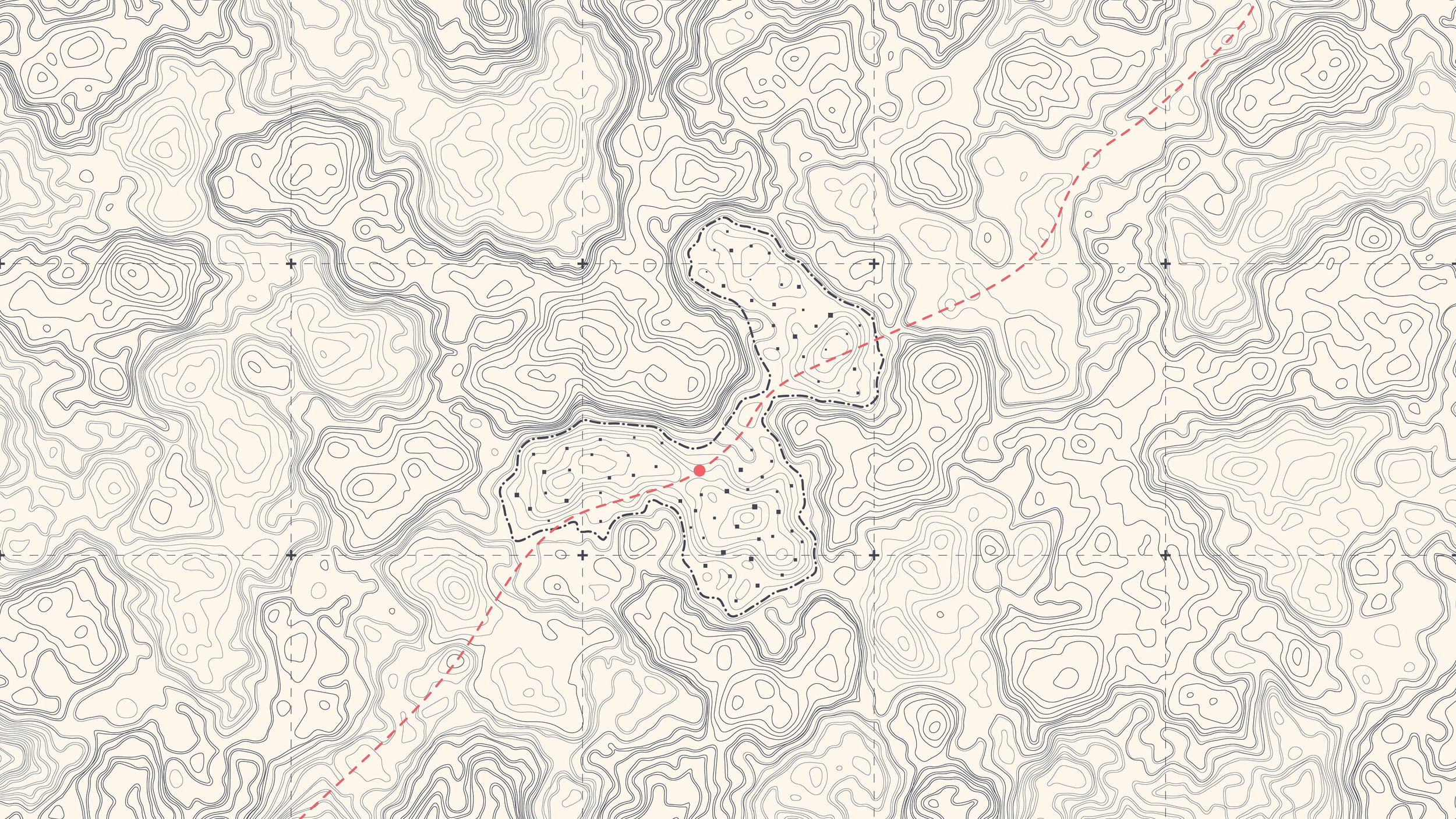
Echo Canyon Trail Map:
Nearby Adventures
Hike Pinnacle Peak
Mountain Bike Pemberton Trail
SHARE THESE TOP 5 HIKES IN PHOENIX ON PINTEREST


Camelback Mountain Hiking Resources
Overview of the Camelback Mountain Trails from Phoenix Parks and Recreation. Best resource for the latest information on closures, maintenance and other official notices.
Please #RecreateResponsibly and Leave No Trace

The 5 Best Hikes In and Around Phoenix
Here is a list of the best 5 hikes in and around Phoenix. Everything from a simple walking route to a heart-pumping hike up a mountain.
Here is my list of the Top 5 hikes in Phoenix. Beautiful hikes can be found all throughout Phoenix. You don't even have to leave the city boundaries!
Within a short drive of the Greater Phoenix area, there is a terrific trail for every skill level.
On my list of the top 5 hikes in Phoenix, you'll find everything from a simple walking route to a heart-pumping hike up a mountain.
Check out this Quick Web Story!
Top 5 Hikes in Phoenix - Let's Get Into it

Echo Canyon Summit
Echo Canyon Summit
Echo Canyon - Camelback Mountain
This short yet picturesque hike in Scottsdale is the most well-known and popular hike in the Phoenix area.
This trail is an intense and difficult anaerobic hike the entire 1.23 miles to the summit. It ascends approximately 1,280 ft, from 1,424 ft above sea level to 2,704 ft.
Bring lots of water, and if you're not a seasoned hiker, enlist the help of a local guide or a buddy to show you the ropes. The trek will take around 2 to 3 hours round trip.
Only experienced hikers or those in the company of someone who understands what to anticipate should undertake this trip. It's steep, with portions where you'll have to rely on your hands and feet. On the harder/steeper sections, there are handrails. These help many hikers but also add points of congestion.
The initial part of the trek is a moderate ascent to a saddle. The next section is a hard ascent up rocks that follows a wall up a series of stairs. To aid hikers, a handrail runs along the length of this stretch.
The Echo Trail is regarded as extremely tough. This hike has the highest number of rescues and deaths per year of any hike in a major urban region in the United States.

Top 5 Hikes in Phoenix - Piestewa Peak
Summit Trail - Piestewa Peak
Piestewa Peak Park has a variety of trails that range from simple to brutal. Serious hikers go for the Summit Trail. It is considered the cousin to Echo Canyon on Camelback, though they have a very different "feel" to the trail and, obviously, views.
Piestewa Peak is nearly in the heart of Phoenix, and it can be viewed from almost anywhere in the city. As a result, the path to the top is quite popular, so expect large crowds of walkers, hikers, and trail runners.
You'll be rewarded with views of Camelback, the Superstitions, the White Tanks Mountains, and the red slopes of Papago Park.
The route is well-designed, with handrails in certain places to assist with the numerous stairwells. On the way back, you should expect a sequence of knee-jarring steps down.
Parking for the trails is limited. Arrive early in the day. At the trailhead, there are restrooms and drinking fountains.

Top 5 Hikes in Phoenix - Siphon Draw to Flatiron
Siphon Draw Trail - Superstition Mountains
The Flatiron Summit via Siphon Draw is recommended for experienced hikers in good physical condition who want a challenge.
If you're thinking about taking on this hike, keep in mind that it's a 6.2-mile round-trip adventure with nearly 3,000-foot elevation gain, and much of it is in direct sunlight. The roundtrip usually takes 4-6 hours.
At the summit, you'll be rewarded with breathtaking 360-degree vistas and a profound sense of accomplishment.
White and blue dots indicate the main trail. The path is rough in places, with gravel, and some boulder climbing is necessary.
Lost Dutchman State Park is home to the Flat Iron Summit Trail. There is a daily charge to park here. Camping in the park is a practical alternative if you want to get an early start on this adventure.
Pinnacle Peak - McDowell Mountains
This hike is one of Scottsdale's most popular and busiest. It is filled with beautiful surroundings and relative simplicity. No list of the Top 5 hikes in Phoenix could exist without it!
A slow rise up a boulder-covered ridge studded with Sonoran Desert vegetation, marked by tiny signposts, leads to a breathtaking perspective of the surrounding region. Tom's Thumb, Troon North Golf Club, and the Four Seasons Resort can be seen from the summit.
This is a 3.5-mile out-and-back trek with a 1,300-foot elevation gain. This path attracts a diverse range of hikers, from fully equipped trail runners to those out for a stroll in their flip flops, and even some pausing to practice yoga postures along the way. Depending on the season, you may see some rock climbers attempting to reach the summit.
This trek has almost no shade. It is best to start early in the day to avoid the heat and congestion.
A fully-staffed tourist center with washrooms and information is located at the base.

Top 5 Hikes in Phoenix - Tom's Thumb Trail in the McDowell Mountains
Tom's Thumb Trail - McDowell Mountains
The Tom's Thumb Trailhead is used by a wide range of people as a starting point for their adventures. Explorers enjoy the aerobic exercise that comes with climbing over 1,300 feet in just 2.4 miles (each way). They're rewarded with panoramic city views at the summit, which give them well-deserved bragging rights for months.
This route is 4.9 miles long and has an elevation gain of around 1,374 feet.
Set out early in the morning to beat the heat. A facility with bathrooms, a big covered outdoor space, and information is located at the trailhead.
What to Bring on your Top 5 Hikes in Phoenix Adventures
Footwear – Chacos
Hydration – Camelback Hydration Backpack (Bring lots of water!)
Camera – Canon EOS R
UV - Sunglasses / Hat / Sunscreen (there is no shade on this entire trail for the majority of the day)
NEARBY ADVENTURES
Hike Pinnacle Peak
Mountain Bike Pemberton Trail
Share these Top 5 hikes in Phoenix on Pinterest


OUTDOOR
ADVENTURE
Featured Posts


HIKING
|
FLY FISHING
|
CAMPING
|
BACKPACKING
|
GEAR REVIEWS
|
HIKING | FLY FISHING | CAMPING | BACKPACKING | GEAR REVIEWS |
Best of
Top Clothing Brands of 2023
Discover unbeatable deals on Patagonia winter essentials at the REI Outlet sale! Get up to 40% off on jackets, parkas, and more.
Subscribe to Our Newsletter
Sign up with your email address to receive news and updates.
Get in touch.
Just like in a hardcore round of intense pickleball, communication is key! Reach out with any questions, comments, beer recommendations, inquiries, critiques and jokes.
The best Black Friday deals for Ford Bronco owners. From racks and rooftop tents to storage, recovery gear, and camping upgrades—this is my full 2025 build list & wish list.